As world leaders meet in Scotland this week to discuss efforts to address the climate crisis, experts are urging greater focus on adapting to fundamental shifts in the planet’s water supplies — and they’re pointing to the Colorado River as a prime example.
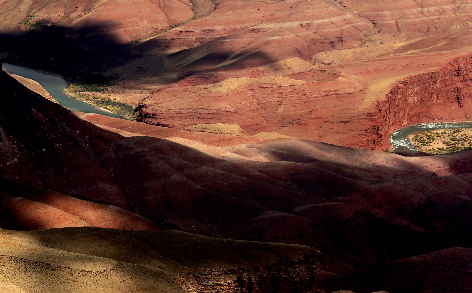
The river, a vital water source for about 40 million people from Denver to Los Angeles, has continued to shrink and send reservoirs declining toward critically low levels after years of extremely dry conditions compounded by hotter temperatures. To water resiliency advocates who are attending the United Nations conference, the river’s plight stands out as one of the world’s starkest cases of a major water source that is being ravaged by the altered climate, and where efforts to adapt haven’t been nearly enough.
“To me, it is the best example globally of how things can go badly,” said John Matthews, executive director and co-founder of the Alliance for Global Water Adaptation. “I can easily point to the Colorado as a place where we only have hard choices now.”
His group is one of a number of nongovernmental organizations participating in a series of water discussions, including talks on how humanity can adapt to a climate of supercharged floods and droughts.
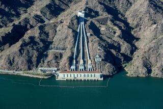
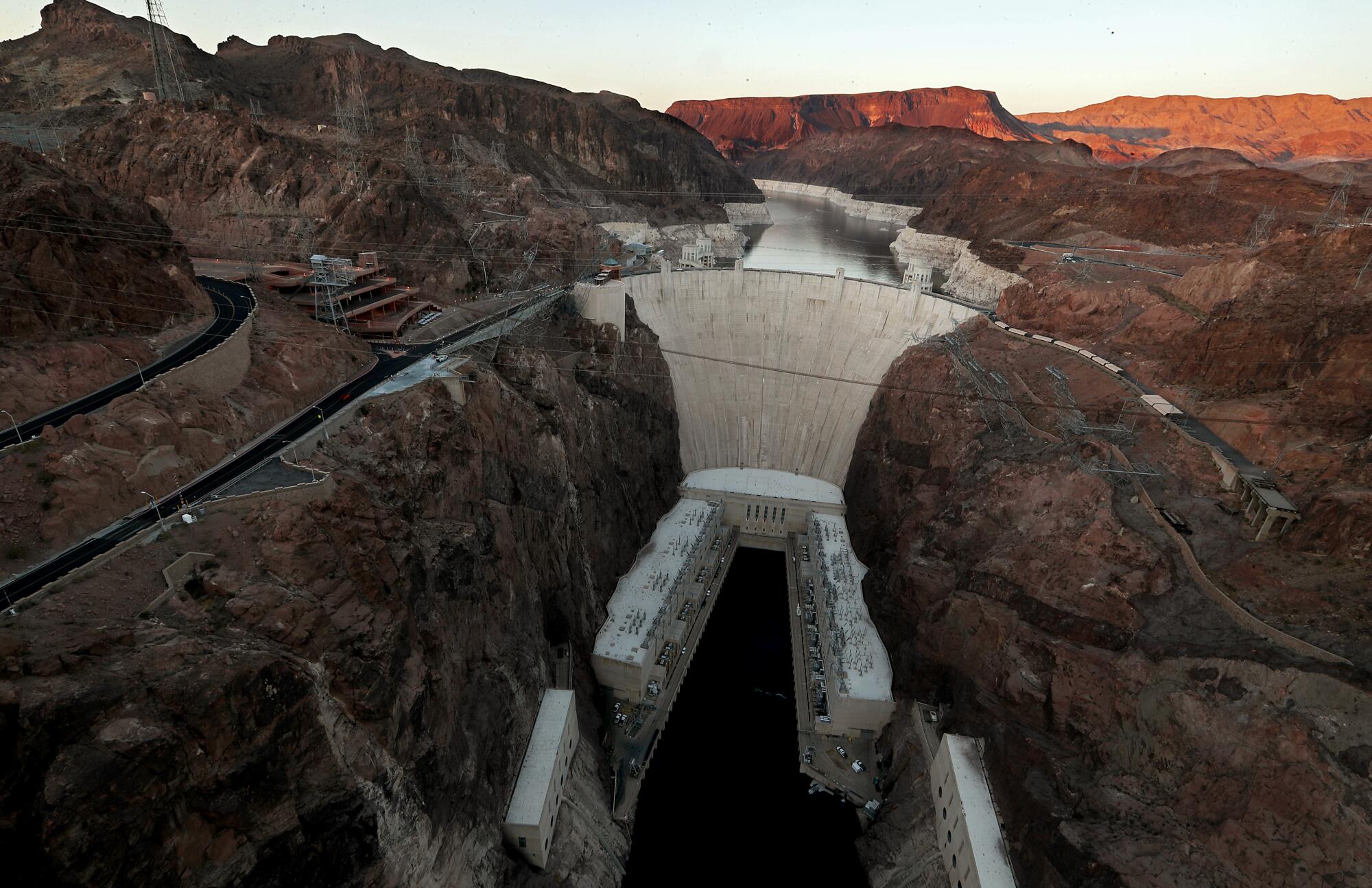
Matthews said the water shortage on the Colorado River reflects fundamental problems in how Hoover Dam and other infrastructure projects were designed for a climate that no longer exists, and how water supplies continue to be divided under a rigid and antiquated system.
“We had a profound amount of ecological and hydrological hubris in how we designed things then, and how for the most part we still design things now,” Matthews said.
That extends to the legal structure of how the river is divided among seven states and Mexico. The river has long been overallocated under the 1922 Colorado River Compact and subsequent agreements.
“The Colorado Compact is trapped in a climate that went away in 1980 or 1990, and is not coming back for at least another millennium,” Matthews said. “I think this is an old car without airbags.”
Yet Hoover Dam and the giant canals that were built across the desert facilitated rapid population growth and economic development in the Southwest, from Los Angeles to Phoenix.
“It’s very serious that these reservoirs are so low. It’s akin to having overdrawn our savings account and now being out of money.”
— Zach Frankel, the executive director of the Salt Lake City-based Utah Rivers Council
And just as the U.S. water system was planned and built based on assumptions about how much water would be available from Rocky Mountain snowmelt, Matthews said, similar challenges now face countries including Ethiopia, China, Turkey and Brazil as they plan water infrastructure projects.
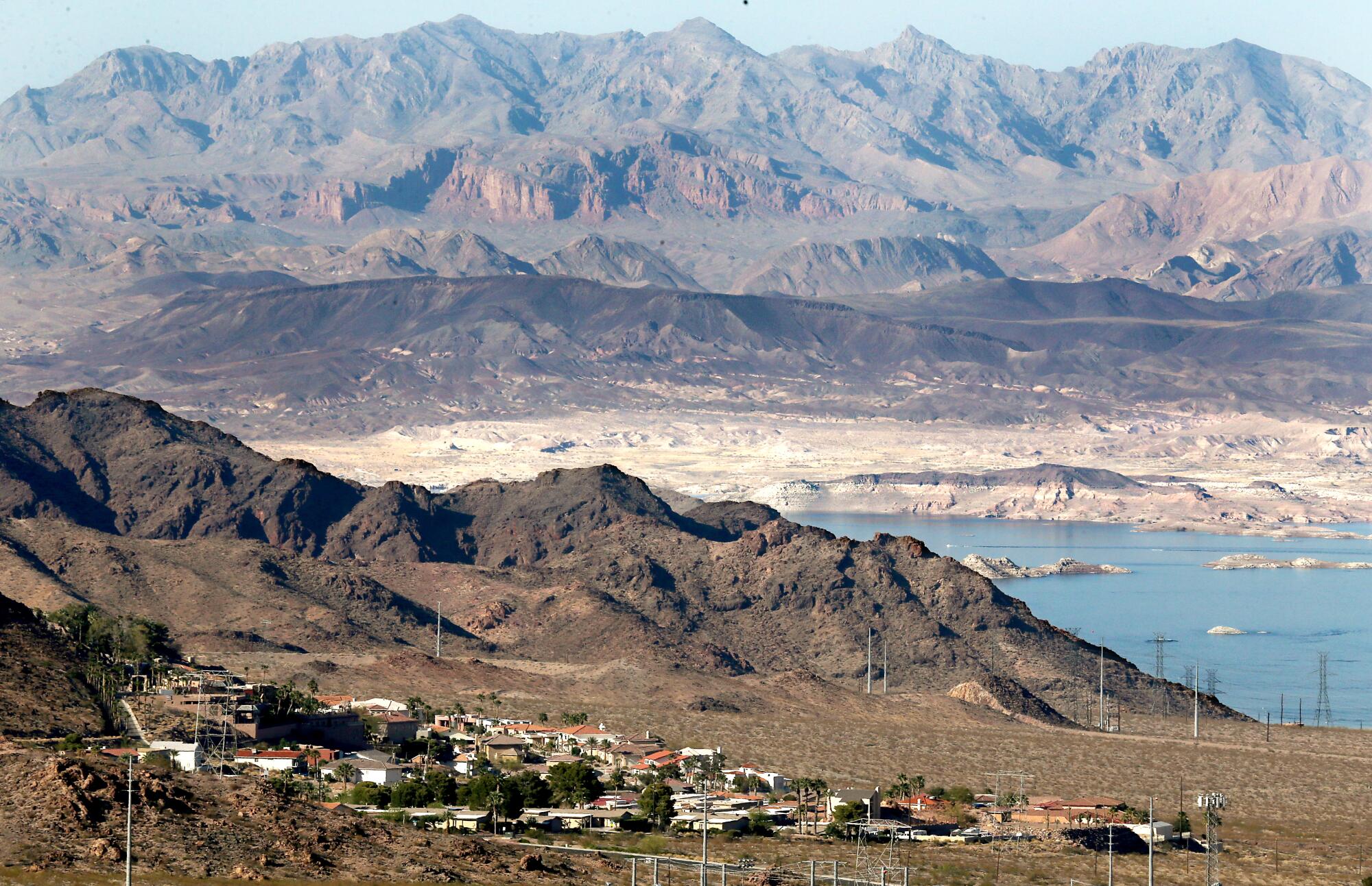
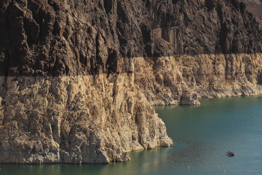
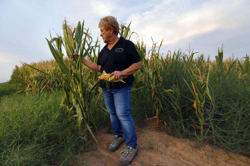
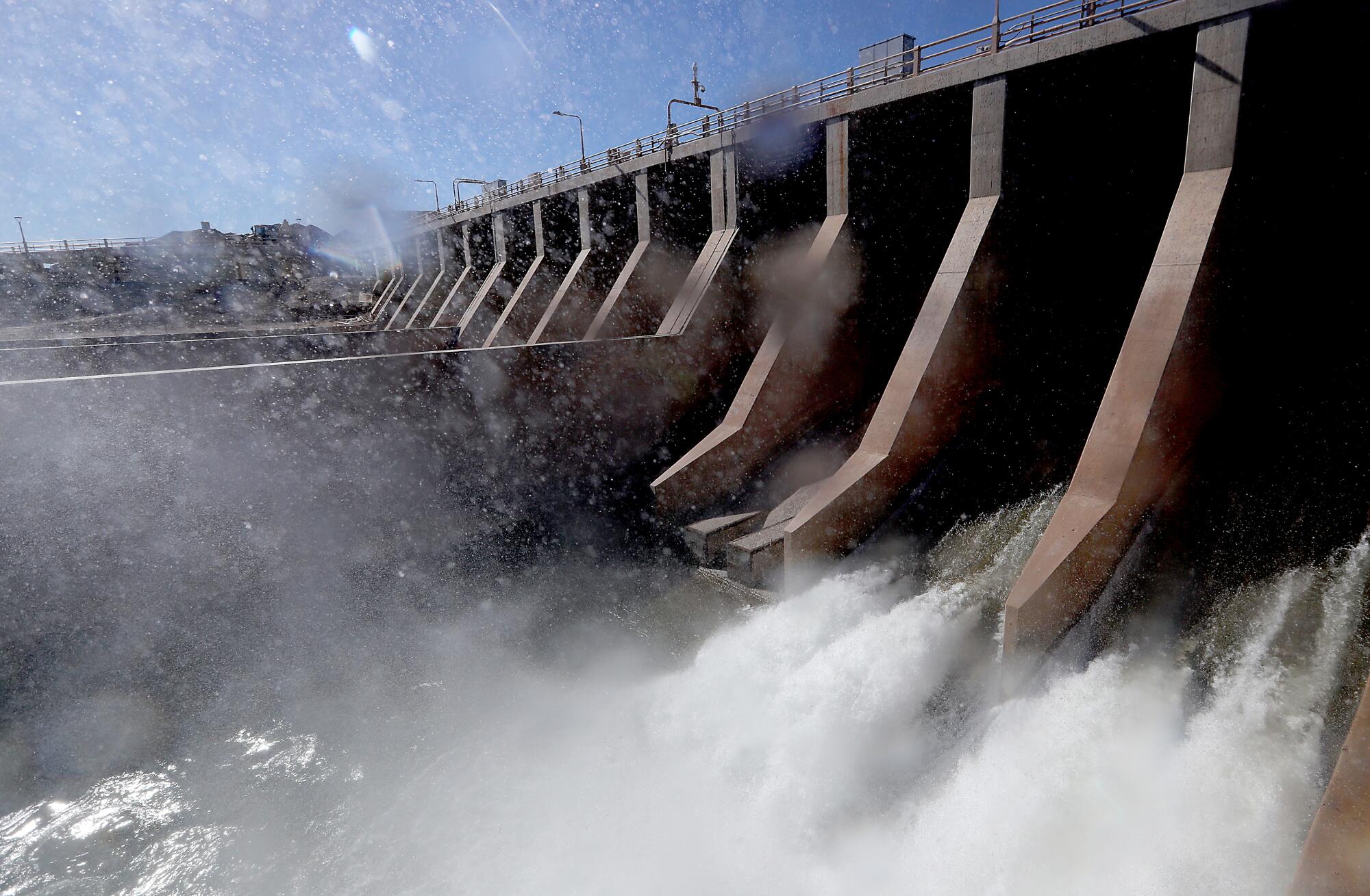
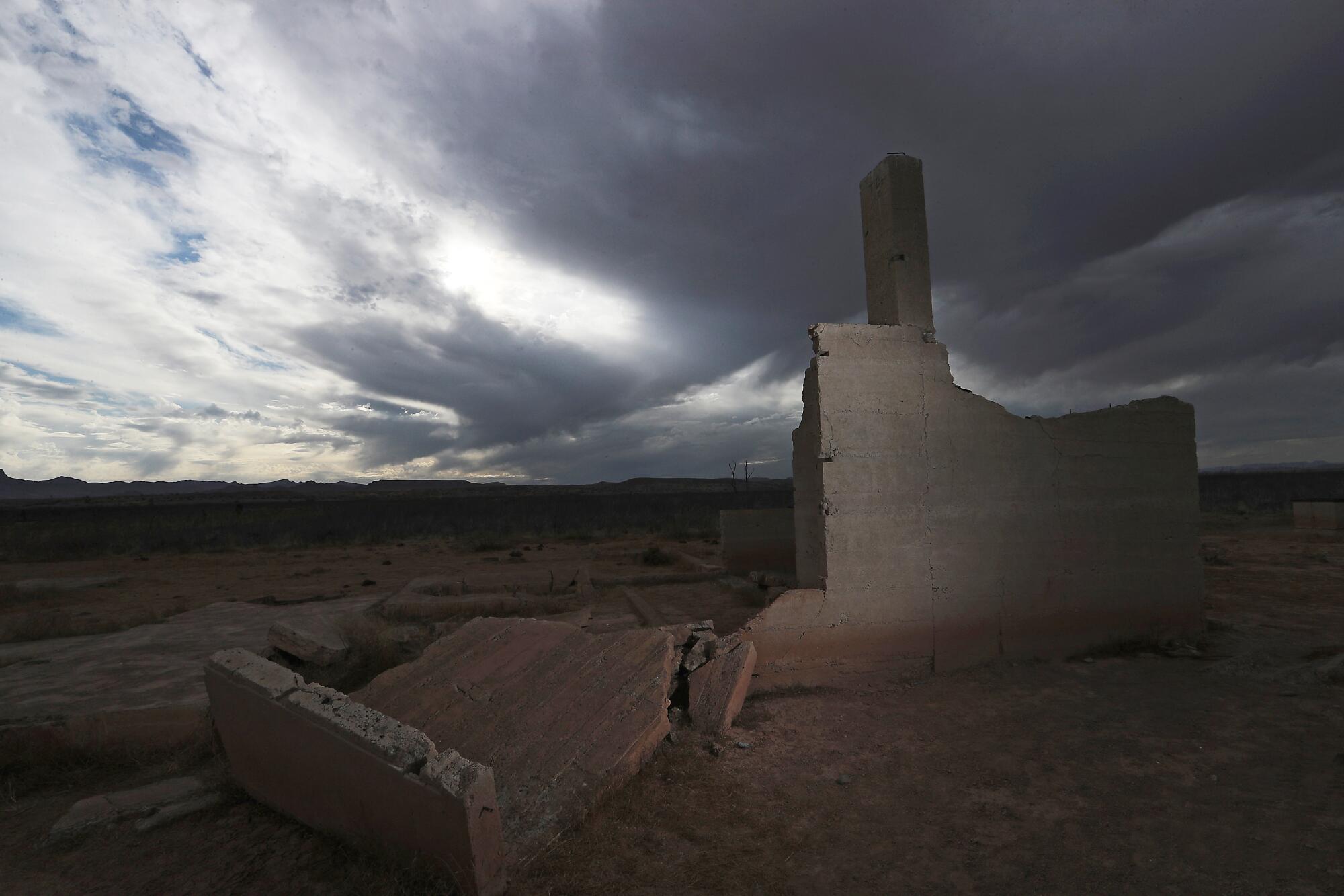
The water level in Lake Mead, the nation’s largest reservoir, has dropped this year to its lowest point since Hoover Dam was built in the 1930s. The reservoir near Las Vegas now stands at just 34% of full capacity, and the federal government has declared a shortage on the Colorado River for the first time. That has triggered water cutbacks next year for Arizona, Nevada and Mexico. Farmers in parts of Arizona are bracing for reductions and planning to leave some fields dry.
Lake Mead is at the lowest water levels in its 85-year history. Federal officials who manage the lake expect to soon declare a water shortage.
The cuts could soon affect California, too, if the reservoir continues to decline as projected.
Scientists estimate that about half the decrease in runoff in the watershed since 2000 was caused by unprecedented warming. And this heat-driven erosion of the water supply is projected to worsen as temperatures continue to climb.
“The story of climate change on the Colorado is really a story about less snow,” said Zach Frankel, executive director of the Salt Lake City-based Utah Rivers Council. “Climate change is increasing winter air temperatures, which are resulting in less snow in the Utah, Colorado and Wyoming mountains that lead to less melted snowpack water that flows into the river.”

“It’s very serious that these reservoirs are so low,” Frankel said, speaking of Lake Mead and Lake Powell. “It’s akin to having overdrawn our savings account and now being out of money.”
Discussions about water are taking on a higher profile at this annual U.N. climate meeting in Glasgow, formally called the 26th gathering of the Conference of Parties, or COP26.
A new water pavilion features a series of livestreamed discussions about water solutions. Announcing these events, Matthews and other organizers said they want to boost awareness about water’s central role in the climate crisis, and the need for action.
Attendees at the conference are talking about strategies such as designing water infrastructure for new climate extremes, working with nature to restore floodplains and wetlands, capturing flood flows to recharge depleted groundwater, and reducing greenhouse-gas emissions from pumping and treating water. They’re also sharing ideas about planning for more intense floods and droughts.
“Water is the main bleeding edge for climate adaptation, where people and economies are going to be hurt,” said conference attendee Felicia Marcus, a visiting fellow at Stanford University and former chair of California’s state water board. “It’s where you feel the impacts of climate change first.”
Nearly all of Arizona is in drought, with large swaths in extreme drought. Experts say the picture may well get worse in a state where more than a third of its water comes from Lake Mead.
Marcus said COP26 could be pivotal “for water taking its rightful place as a core issue,” and for countries to more fully incorporate water adaptation strategies in their climate policies.
Because many people are talking more about “water resilience” lately, researchers at the Pacific Institute in Oakland wrote a paper presenting a definition of the term. They defined water resilience as “the ability of water systems to function so that nature and people, including those on the frontlines and disproportionately impacted, thrive under shocks, stresses, and change.”
As for the shrinking Colorado River, Marcus said, it’s become “a very potent symbol of what’s to come, and what’s happening in other places around the world.”
Lake Mead’s retreating shorelines became a backdrop representing the need for climate action last month when Vice President Kamala Harris visited to push for the Biden administration’s infrastructure and climate plans.
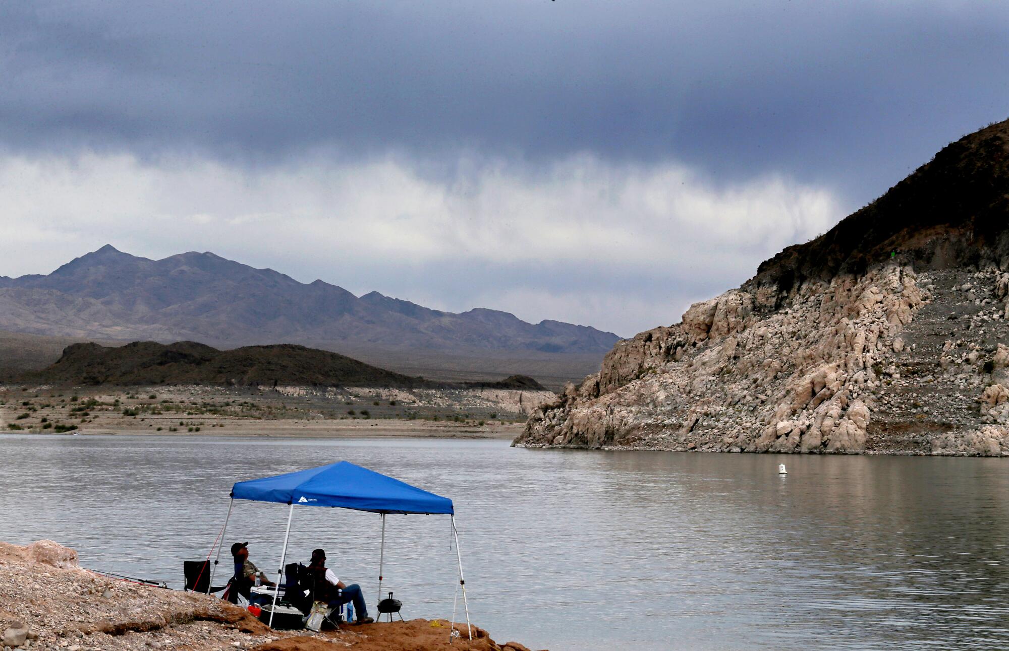
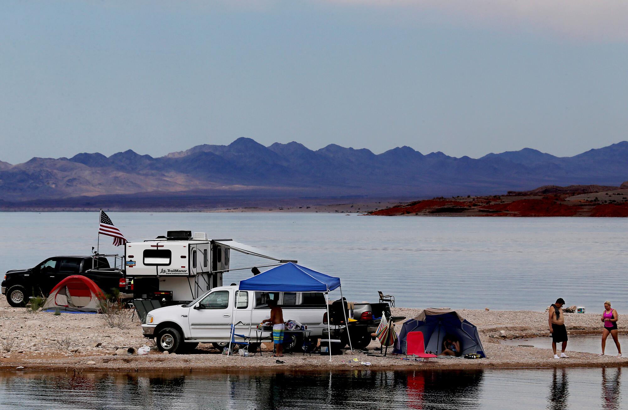
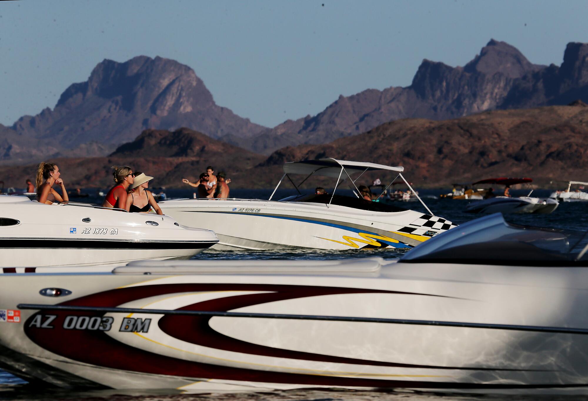
Around Lake Mead, a federally managed national recreation area that attracts more than 8 million visitors each year, the low water levels have already hurt some locals who rely on the reservoir for boating and fishing.
“The water levels have been dropping every year,” said Eric Richins, a Kingman, Ariz.-based boat operator whose company, Big Water Boating, leads fishing tours on Lake Mead. “It’s harder to access Lake Mead because the ramps you’d usually use are closed because of the low water levels.”
In 2019, the seven states that rely on the river reached a set of agreements intended to reduce the risks of reservoirs declining to dangerously low levels. Under that seven-year deal, California, Arizona and Nevada agreed to a series of water reductions.

But after two hot and extremely dry years, water officials in the three states have acknowledged that those steps won’t be sufficient. They’ve been meeting to consider next steps, which could include additional cutbacks.
Some scientists have estimated the Colorado could lose about one-fourth of its flow by 2050 as temperatures continue to rise. In other research, federal scientists have studied the baseflow, or the movement of groundwater into streams in the watershed. They’ve projected that hotter, drier climate could lead to a 29% decline in baseflow in the Upper Colorado River Basin by the 2050s.
The latest studies add to warnings that scientists have been raising for years about how climate change is affecting the river. And some warnings came decades ago.
Activists with the group Climate Investigations Center have pointed to an internal Exxon memo written in 1979 about a study by an intern on the potential effects of rising carbon dioxide levels. In a bulleted list summarizing other published research on the environment effects of higher CO2 levels, the report stated: “The flow of the Colorado River would diminish and the southwest water shortage would become much more acute.” The document has been cited in court cases against oil companies.
With the river’s reservoirs continuing to decline, members of Congress convened hearings last month.
John Entsminger, general manager of the Southern Nevada Water Authority, explained what he called the “math problem” on the river.
“If we rely upon the promises of the 1920s and the 1940s, there are legal entitlements to 17.5 million acre-feet of water each year. Annual use today is approximately 14 million acre-feet. And over the last 20 years, the river has given us an average of 12.3 million acre-feet,” Entsminger told the House water subcommittee. “There is more and more evidence on the ground that what the Colorado River is actually facing is not drought but aridification and a permanent transition to a drier future.”
Leaders of tribes also spoke. Daryl Vigil of the Jicarilla Apache Nation in New Mexico, a co-facilitator of the Water and Tribes Initiative, said Indigenous tribes have long been left out of the decision-making process on the river and need to be at the table.
“Tribes have senior water rights to at least 25% of the current natural flow of the Colorado River but have historically been excluded from decision-making or ‘consulted’ only after decisions have been made,” Vigil said in written testimony. “It is time to create a new paradigm for governing the use of the Colorado River — one that integrates best available science and Indigenous knowledge of the basin. And one that involves tribes as active partners.”
Others stressed the importance of stepping up the pace of talks on additional measures, saying the government hasn’t put in place a default plan if the states don’t reach a collaborative agreement quickly enough.
“The point I want to emphasize is the need for speed,” said Anne Castle, a senior fellow at the University of Colorado law school and a former Interior Department official. “It’s just not clear that the river will allow the current pace of discussions to continue without devastating consequences.”
