


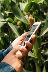
Drive collection of timely field observations of agriculturally important organisms through our network of experts, advisors, growers and their technology tools.
Protect crop yield and increase farm profitability through sharing unbiased, science-based tracking and forecasting information about agriculturally important organisms including insect pests, pathogens, weeds, beneficial insects and microorganisms.
Mission
The iPiPE network works with partners to collect data and provide timely, actionable, unbiased and science-based information on agriculturally important organisms to farmers and their advisors. This information includes real time maps, alerts and forecasts to improve crop health, productivity and economic returns.
Audience
Crop consultants, Extension professionals, ag retailers/coops, growers, crop protection suppliers including farm management software providers, processors, private and public sector researchers, organizations monitoring beneficial organisms.
Products
Publicly distributed maps, forecasts and alerts; specialized mapping and forecasting services; software for scouting and model development; high-density data sets for research.
 Gather Data
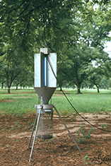
 Verify Data Quality
 Inform Stakeholders
 Build the Future
Alerts
News
0
0
0
0
Participating Organizations


Projects


Expert Communication
Sightings
Routine Monitoring
Data Partners


0
0
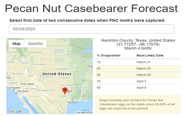
Target Pecan Nut Casebearer Management
Know when the decision window for Pecan Nut Casebearer is about to occur in your area.
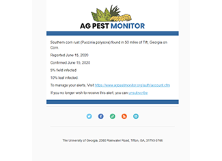
Pest Activity Alerts
Get notified when pests and diseases are active in your area.
0
0
0
Powered By EDDMapS
EDDMapS is a web-based mapping system for documenting invasive species distribution and there are immense numbers of invasive species observations reported each year. In turn, EDDMapS shares this data and makes it freely available to everyone. Ag Pest Monitor is built upon the existing EDDMapS infrastructure and all data contributed becomes part of the overall database.
Supported By