-
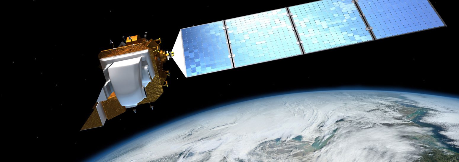
Landsat 8 OLI Earth Observation Satellite; Launched February 11, 2013
-

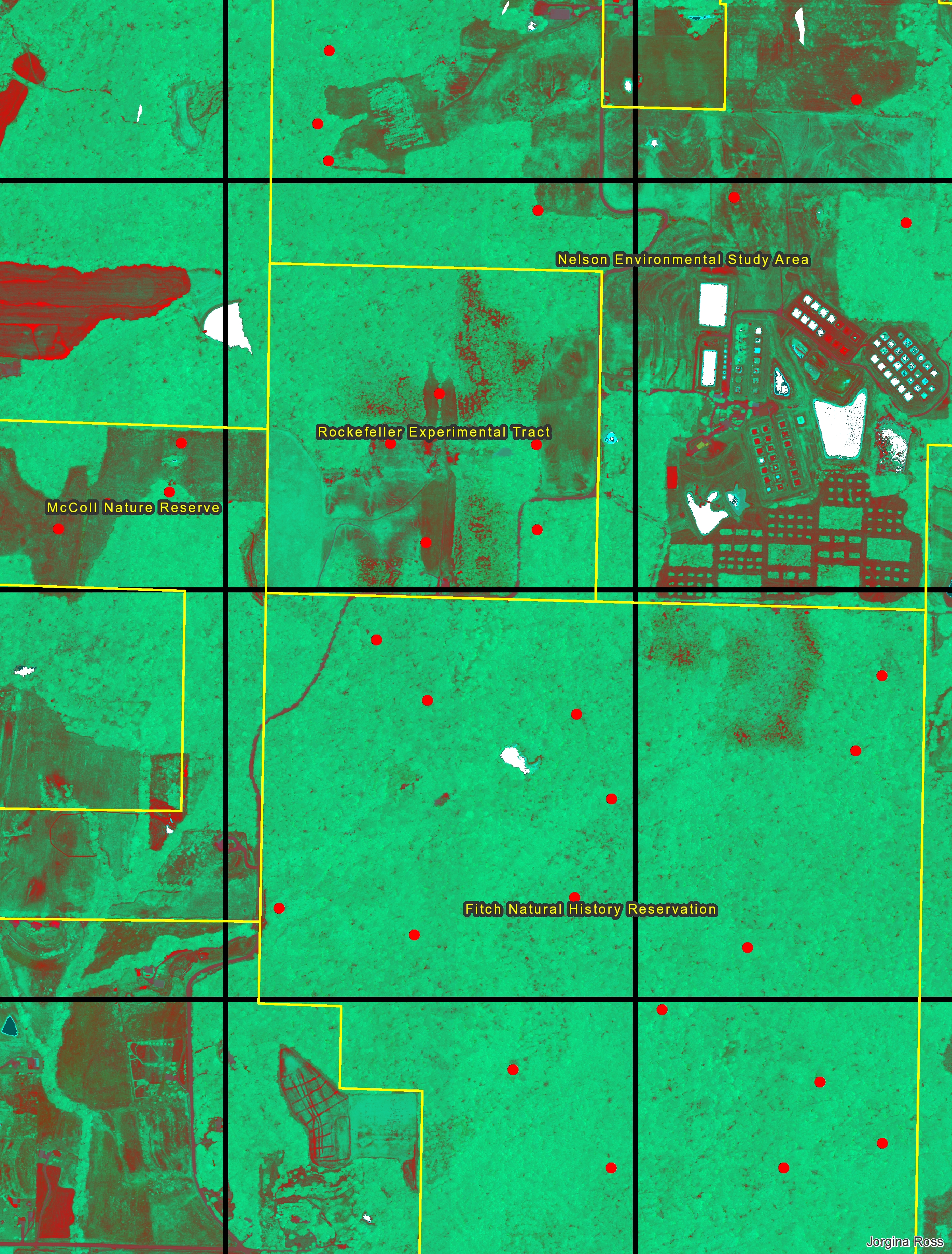
Landsat 8 OLI Natural Color Composite (Bands 7,5,4) over Lawrence, Kansas and a part of the the Kansas River Valley. Image date: June 12, 2013
-

Landsat 8 OLI False Color Composite (Bands 5,4,3) over Lawrence, Kansas and a part of the the Kansas River Valley. Image date: June 12, 2013
-

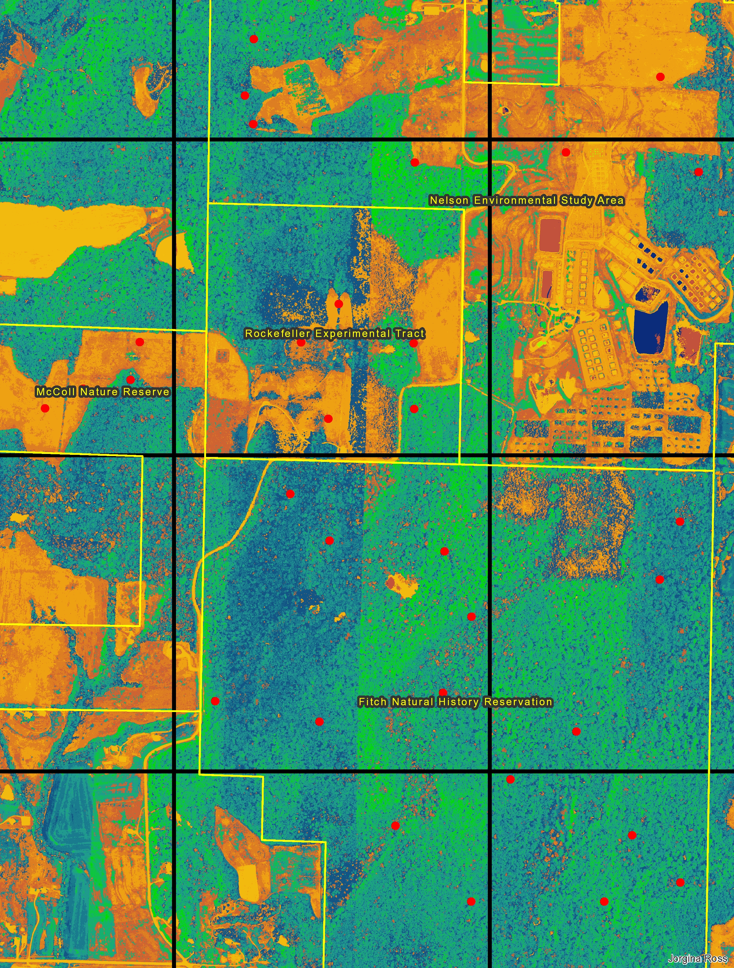
Landsat 8 Normalized Difference Vegetation Index (NDVI) over Lawrence, Kansas and a part of the the Kansas River Valley. Image date: June 12, 2013
-

Kansas land cover map over Lawrence, Kansas and a part of the Kansas River Valley created using Landsat 8 imagery
![]()
KansasView
Kansas View is a charter member of AmericaView, a nationwide consortium sponsored by the US Geological Survey focused on supporting the use of Landsat and other public domain remotely sensed imagery through applied research, K-12 and higher STEM education, workforce development, and technology transfer.


